 |
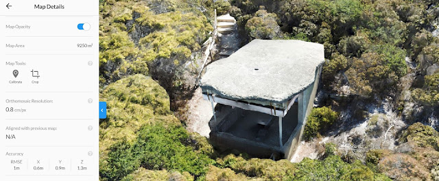
| Drone scan of an un-named WWII observation post near Point King, Albany, Western Australia |
Drone Structure Scan - Historical Landmark
Drone Structure Scan of a WW II Observation Post at Point King, Albany using a Mavic Pro and photogrammetry processing with Drone Deploy.Mission Summary
- Goal: To create a highly detailed drone structure scan of a WWII observation post that reminded me of the Autodesk Recap video of Battery Townley near San Francisco.
- Tech: DJI Mavic Pro, Drone Deploy
- Conditions: Midday, sunny, very windy
- Outcome: This ended up being my most detailed map to date. See above the 'map details' show a resolution of 0.8cm/px and an RMSE of 1m. This was accomplished with a fully manual flight (no automated flight plan), in very windy conditions and using a Mavic Pro with a 12Mp camera. I'm impressed and super proud. :)
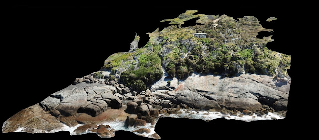 |
| The entire site, flown very carefully manually with the camera set to take a photo every 2sec |
 |
| A glimpse of the old WWII concrete structure just visible amongst the thick coastal scrub |
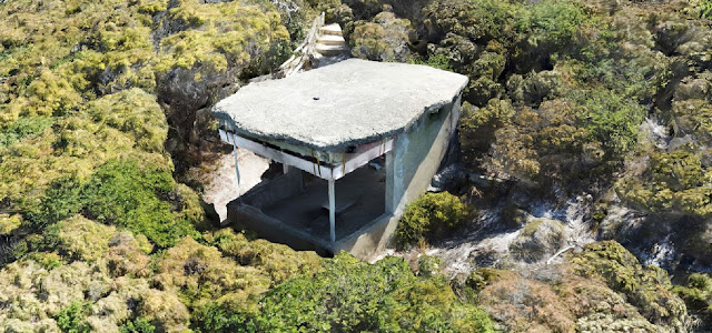 |
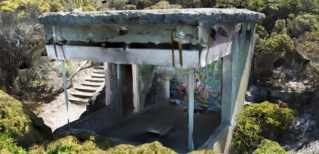
| The roof of the structure was created in a 'ragged' form to make it look like a rock |
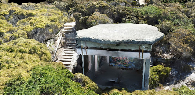 |
| The detail of the structure scan created by Drone Deploy was excellent, this is my best scan to date |
 |
| A detailed look inside the structure, this was made possible by the upward camera option on the DJI Mavic Pro |
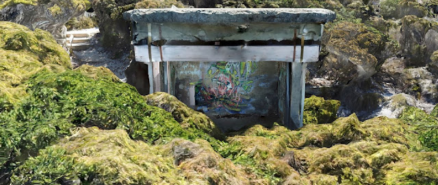 |
| Flying the DJI Mavic Pro manually and very close to the structure meant I could capture detailed photos of it's interior |
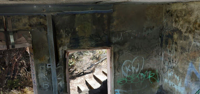 |
| Using the upward camera feature of the DJI Mavic Pro I managed to capture all of the inside of the structure, including it's soffit |
 |
| Some of the graffiti tags over the structure |
 |
| Elevation gradient of the site, clearly showing the rocks, dense scrub and access to the structure |
A link to the Autodesk video that inspired it all; From GoPro photos to a conceptual model in Revit. In 2014, when I watched this video I was hooked, it gave me the initial spark and motivation that got me interested in drone scanning and Scan-To-BIM technology and methodologies. Since then it has been both a passion and addiction to drone-scan nearly everything that I see.
If you liked this post, check out another similar post on a scan I did on the same road trip, it's of the Arthur River Mt Pleasant Kitchen heritage cottage.
This has been another 'drone adventure' in aerial surveying, inspection and mapping by The Aero Scout.


