 |
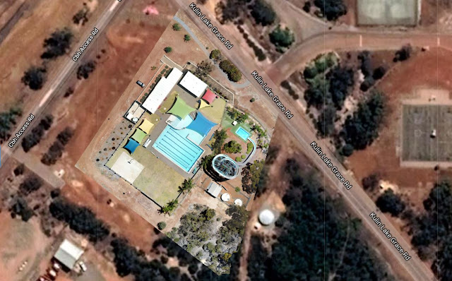
| 3D model of the Kulin water slide created using drone images |
Drone Site Scan - Public Infrastructure
Drone site scan of the famous Kulin Water Slide using a Mavic Pro and photogrammetry processing with Drone Deploy.
Mission Summary
- Goal: To demonstrate the effectiveness of a drone site scan of public infrastructure for marketing or asset monitoring purposes.
- Tech: DJI Mavic Pro, Drone Deploy
- Conditions: Late morning, sunny, moderate wind
- Outcome: Whilst it was a warm day and upon takeoff the drone was swarmed by 100 pink and grey galahs we managed to site scan the Kulin pool and water slide before any patrons arrived.
Note: Permission from the Pool Manager was granted for the drone scan
 |
| High resolution plan view of the Kulin water slide using drone images |
This has been another 'drone adventure' in aerial surveying, inspection and mapping by The Aero Scout.


