 |
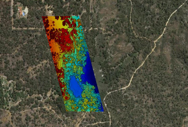
| Elevation map showing clearly showing the gradient of the underlying terrain |
Drone Site Scan - Through Heavy Vegetation
Drone site scan of a heavily wooded area in Gooseberry Hill, Western Australia.
Mission Summary
- Goal: To determine the gradient of the terrain in a densely wooded area
- Tech: DJI Mavic Pro, Drone Deploy
- Conditions: Morning, sunny, light wind
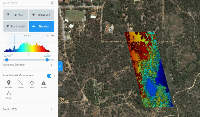
- Outcome: The imagery was successful in penetrating the canopy and offering valuable insights into the topography of the area of interest
 |
| The high resolution imagery taken from the drone scan is clearly visible next to the satellite imagery |
 |
| Colour elevation gradient produced via Drone Deploy |
This has been another 'drone adventure' in aerial surveying, inspection and mapping by
The Aero Scout.


