 |
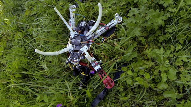
| This is not my drone, I've just used this picture for emphasis, my drone is at the bottom of a winter lake. |
I knew this was going to be a challenging mission, the plan was to map a medium sized wetlands lake in Viveash. The area to be mapped was 120,000m2 (nearly 30 acres), a flight of 4.3km with over 160 images to be taken. Not only was it going to test my flight planning skills as I couldn't survey the lake with just one battery, it was going to need two, it was also going to test the post processing for the 3D map. I would need to plan for an overlap of images between the two missions so that the 3D map would be accurate, and I would need to be careful about the amount of time spent in the air because when flying over water there is no safe emergency landing zone. Clearly I hadn't anticipated all of the potential problems.
 |
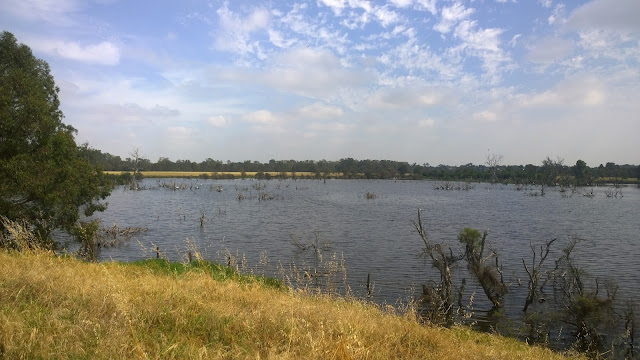
| The last flight of the X350 Pro ended with the drone ditching into the middle of this wetlands. |
In my flight planning I had a 12min flight time, which usually gives me a 3min safety margin. In hindsight, I should have taken more notice of the wind and adjusted the flight time (in the field) to be a few minutes lower, to take into account the extra power that might be used by the drone to compensate for the strong winds and stay on the flight plan it was programmed with.
 |
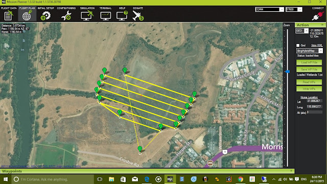
| Flight plan showing the first stage of the mission |
 |
| Flight plan showing the second stage of the mission. |
I feel either a better instinctive analysis of the flying conditions that day or a more rigorous pre-flight checklist could have prevented this incident. Plus listening to my intuition and cutting the flight short when I felt something was not right would have also helped, all I needed was another 30sec of battery and I would have had the drone over the relative safety of dry land.
Lessons learnt:
- Take more notice of local conditions on the day of the flight and be prepared to modify flight plan to suit.
- Add new points to my pre-flight checklist to ensure this analysis is done for every flight, regardless of conditions.
- Test battery capacity more often and adjust standard flight time when necessary.
- Where possible, only fly drones that have a bi-directional telemetry link to a ground station to enable real time monitoring of the systems. This will assist the drone pilot in making better decisions during the mission.
This has been another 'drone adventure' in aerial surveying, inspection and mapping by The Aero Scout.


